
Colorado Springs at a glance
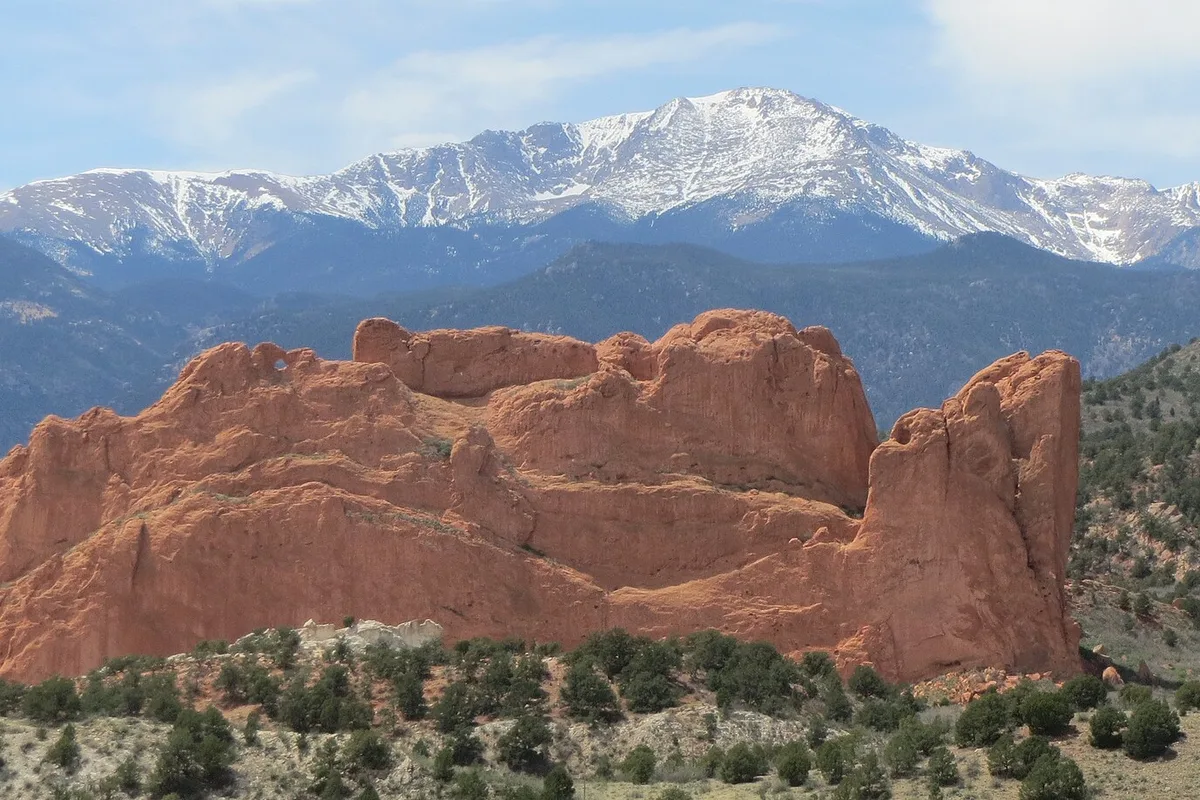
Colorado Springs sits at the foot of Pikes Peak in El Paso County, about 70 miles south of downtown Denver on I-25. The City describes it as Colorado’s second-largest city. It is also home to the U.S. Olympic & Paralympic Committee and five military installations, so plenty of people moving here already have a reason in hand. I serve Colorado Springs from Flying Horse on the north side down to the older neighborhoods near Cheyenne Mountain, and I love helping people figure out which part of this big, spread-out city fits them.
Sources: U.S. Census Bureau ACS 2020–2024 5-year estimates; City of Colorado Springs media kit; OpenStreetMap routing from Acacia Park downtown.
Key takeaways
- Colorado Springs is in El Paso County, and addresses fall in several different school districts.
- In-city homes get electric, natural gas, water and wastewater from Colorado Springs Utilities, which is community-owned.
- Denver is about 70 miles north on I-25; there is no train, but Bustang runs buses to Union Station.
- The City counts nearly 20,000 acres of municipally owned land, including Garden of the Gods, free to visit.
Cost of living and home prices
I only use published numbers here, and I tell you where each one comes from. The U.S. Census Bureau’s American Community Survey (2020–2024 5-year estimates) reports for Colorado Springs, with Denver for comparison:
| Measure | Colorado Springs | Denver (for comparison) |
|---|---|---|
| Median value, owner-occupied homes | $452,600 | $616,000 |
| Median household income | $84,818 | $94,718 |
| Median gross rent | $1,648 | $1,831 |
| Homes that are owner-occupied | about 61% | about 49% |
| Population | 487,887 | 718,877 |
Source: U.S. Census Bureau, ACS 2020–2024 5-year estimates, tables B25077, B19013, B25064, B25003 and B01003.
The Census median value is what owners estimate their homes are worth, based on survey responses collected over five years. It is useful for comparing cities, but it is not today’s list price. Colorado Springs is a large, spread-out city, with everything from historic homes near downtown and Old Colorado City to newer master-planned neighborhoods on the north and east sides and custom homes in the foothills, so prices vary a lot from one area to the next. When you are ready, I’ll pull recent closed sales for the exact areas and price range you are considering.
Beyond the mortgage, budget for HOA dues (common in newer communities), any metro district levy, utilities, and the property tax bill described below.
Property taxes, sales tax and metro districts
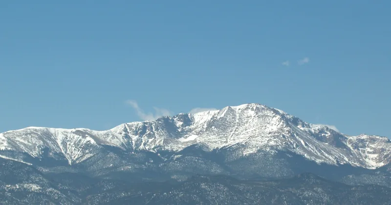
Colorado property taxes follow one formula: actual value × assessment rate = assessed value, then assessed value × mill levy = tax. For tax year 2026, the Colorado Division of Property Taxation lists residential assessment rates of 7.05% for school districts and 6.8% for local governments. The El Paso County Treasurer notes that for 2026, state law also reduces the value used for county, city and other non-school levies by the lesser of 10% of actual value or $70,000. Mill levies are set each year by the taxing authorities for that address, such as the school district, county, city, fire district and any special or metro districts.
Sales tax is the other number newcomers ask about. The City of Colorado Springs lists a combined rate of 8.20%: 3.07% city, 2.90% state, 1.23% El Paso County and 1.00% for the Pikes Peak Rural Transportation Authority.
Three things to check for any Colorado Springs address
Metro district. Many newer neighborhoods were built with metropolitan districts that repay the cost of roads, utility lines and parks through their own mill levy. Flying Horse is one example. My metro districts guide shows how to look one up. City or county. Some homes with Colorado Springs mailing addresses, including Flying Horse North, are in unincorporated El Paso County, which can change who provides services. School district. Each address sits in one of several districts, and that district’s levy is part of the tax bill. The El Paso County Assessor lists the taxing districts for a parcel.
Utilities and city services
One thing that surprises people moving from other states: inside the city, Colorado Springs Utilities provides all four core utilities, electric, natural gas, water and wastewater. It is a community-owned, not-for-profit utility governed by City Council, so you set up most services with one provider. Homes outside city limits may use other providers, private wells or septic systems, so ask early if you are looking at acreage.
The City is run by a mayor and a nine-member City Council, with three members elected at large and six by district. Many newer neighborhoods also have an HOA that handles covenants and sometimes trash service, so check what the dues include.
Getting around and the drive to Denver
Driving distances below start at Acacia Park in downtown Colorado Springs. Times are traffic-free estimates from OpenStreetMap routing; rush hour and winter weather are slower, so test the drive at the hour you would really travel.
| Destination | Distance | No-traffic estimate |
|---|---|---|
| The Broadmoor area | about 4 mi | about 10 min |
| Garden of the Gods Visitor Center | about 6 mi | about 13 min |
| Colorado Springs Airport | about 13 mi | about 22 min |
| Flying Horse (The Club) | about 17 mi | about 23 min |
| Monument | about 20 mi | about 25 min |
| Downtown Castle Rock | about 40 mi | about 45 min |
| Denver Tech Center (DTC) | about 59 mi | about 65 min |
| Downtown Denver (Union Station) | about 70 mi | about 80 min |
| Denver International Airport | about 86 mi | about 95 min |
I-25 is the spine of the city and the main route north. Between Monument and Castle Rock it climbs over Monument Hill, where winter storms can slow things down, so keep an eye on CDOT conditions before you head out.
If you’d rather not drive, CDOT’s Bustang South Line runs from the Colorado Springs Downtown Terminal on Kiowa Street to Denver Union Station, with stops at the Woodmen and Monument park-and-rides, Sky Ridge Station in Lone Tree and Colorado Station in Denver. On the current weekday schedule, the first northbound bus leaves downtown Colorado Springs at 5:00 AM and is scheduled into Union Station at 7:00 AM. There is no passenger rail between the two cities.
For flying, the Colorado Springs Airport is close to most of the city. Denver International Airport has far more nonstop flights, but it is about an hour and a half away without traffic, so frequent flyers often weigh that drive carefully.
Military installations
The City lists five military installations in the Colorado Springs area, and many of my relocating buyers have orders to one of them:
Army
Fort Carson
On the southwest side of the city, between I-25 and Highway 115, at the base of Cheyenne Mountain.
Space Force
Peterson and Schriever
Peterson Space Force Base is on the east side next to the Colorado Springs Airport, about 8 miles from downtown; Schriever Space Force Base is farther east.
Air Force and Space Force
Air Force Academy and Cheyenne Mountain
The U.S. Air Force Academy sits on the north end of the city, and Cheyenne Mountain Space Force Station is southwest of downtown.
Sources: City of Colorado Springs media kit and Military Spouse Community Coalition page; Military OneSource (Fort Carson location); OpenStreetMap routing.
If you are relocating on orders, tell me your report date and which gate you will use most. I’ll map drive times from the neighborhoods you like, and we can plan around VA loan timelines and inspection deadlines from the start.
Weather at 6,035 feet
Colorado Springs sits higher than Denver. NOAA’s 1991–2020 climate normals for the Colorado Springs Airport station, on the east side of the city, show:
Source: NOAA NCEI 1991–2020 climate normals, station USW00093037 (Colorado Springs Municipal Airport, about 6,180 feet).
The same station averages about 23 days a year at 90°F or hotter, compared with about 64 at the Denver Water Department station near downtown Denver, so summers here tend to run a little milder. Snow mostly falls from fall through spring and usually melts within a few sunny days. Summer afternoons bring the most rain and the occasional hailstorm, and the foothills and northern areas can get more snow than the airport. If you are coming from coastal California or the Texas Gulf, expect drier air, stronger sun at altitude and big day-to-night temperature swings.
Pikes Peak, Garden of the Gods and parks
City-owned
Garden of the Gods Park
A 1,341-acre city-owned park and National Natural Landmark with towering red sandstone formations. The park and its Visitor and Nature Center on North 30th Street are free.
14,115 feet
Pikes Peak, America’s Mountain
One of only two Colorado fourteeners with a summit you can reach by car, according to the City. The view inspired the poem that became “America the Beautiful.”
Citywide
Parks and trails
Nearly 20,000 acres of municipally owned land, including 156 city parks, 160 miles of park trails, 105 miles of urban trails and 50 open-space areas.
Source: City of Colorado Springs (media kit and Garden of the Gods page).
The Manitou Incline, just west of the city in Manitou Springs, climbs about 2,000 feet in less than a mile and is a local rite of passage. Downtown is home to the U.S. Olympic & Paralympic Museum and Weidner Field, where the Colorado Springs Switchbacks play, and the City calls itself “Olympic City USA” because the U.S. Olympic & Paralympic Committee has been headquartered here since 1978.
Schools
Unlike Denver, which is served mainly by one district, Colorado Springs is split among several. The El Paso County Assessor lists more than a dozen school districts in the county, and city addresses fall in districts such as:
- Colorado Springs School District 11, covering much of the central city
- Academy District 20 on the north side, including Flying Horse
- District 49 on the east side, plus Harrison School District 2, Cheyenne Mountain School District 12 and Widefield School District 3 on the south side
Boundaries don’t follow ZIP codes, so confirm the district and assigned schools for a specific address with the district before you buy. Charter and choice options vary by district.
Areas to consider
For a closer look at high-end neighborhoods, golf clubs and HOAs, see my Colorado Springs luxury homes page.
Flying Horse
A master-planned golf community on the north side near I-25 and InterQuest Parkway, with The Club at Flying Horse, two 18-hole courses and a metro district. Flying Horse North adds custom homes on acreage.
Flying Horse homesBroadmoor and the southwest
Established neighborhoods around The Broadmoor resort at the foot of Cheyenne Mountain, with mature trees, foothill views and a mix of historic and custom homes.
Broadmoor area homesBriargate and the north side
Large planned neighborhoods north of downtown near The Promenade Shops at Briargate and the Air Force Academy, with easy I-25 access for Denver trips.
Downtown and Old Colorado City
Historic homes, walkable blocks and local restaurants near downtown and in Old Colorado City on the west side, close to Garden of the Gods and Manitou Springs.
If you want Colorado Springs scenery with a shorter Denver drive, look at the north end of the city and Monument, or consider Castle Rock, about 40 miles north. See my Moving to Castle Rock guide and my Denver vs. Colorado Springs comparison.
Tips for out-of-state buyers
- Start with video. I can walk homes with you live on FaceTime or Zoom and record neighborhood drives so you can narrow the list before you fly in.
- Get pre-approved early. A Colorado-licensed lender can explain local costs, including HOA dues and metro district payments, and VA loan timing if you are on orders.
- Learn the Colorado contract. Colorado uses state-approved forms with firm dates for inspection, appraisal and loan. See my contract deadlines guide.
- Check taxes by parcel. Use the El Paso County Assessor to see every taxing district for an address, including the school district and any metro district.
- Test the commute. Drive I-25 at your real commute hour on your visit, and check Monument Hill conditions in winter.
- Ask who provides utilities. In-city homes use Colorado Springs Utilities; outside the city, confirm water, sewer and power providers.
- Plan the closing. Ask your title company about remote or mail-away signing if you can’t be here.
Moving from farther away? My Colorado relocation page compares every town I serve, from Broomfield to Colorado Springs, and you can get my free Colorado relocation guide there. Budgeting? Read my buyer closing costs guide.